About Precision Utility Mapping
ABOUT US
Precision Utility Mapping
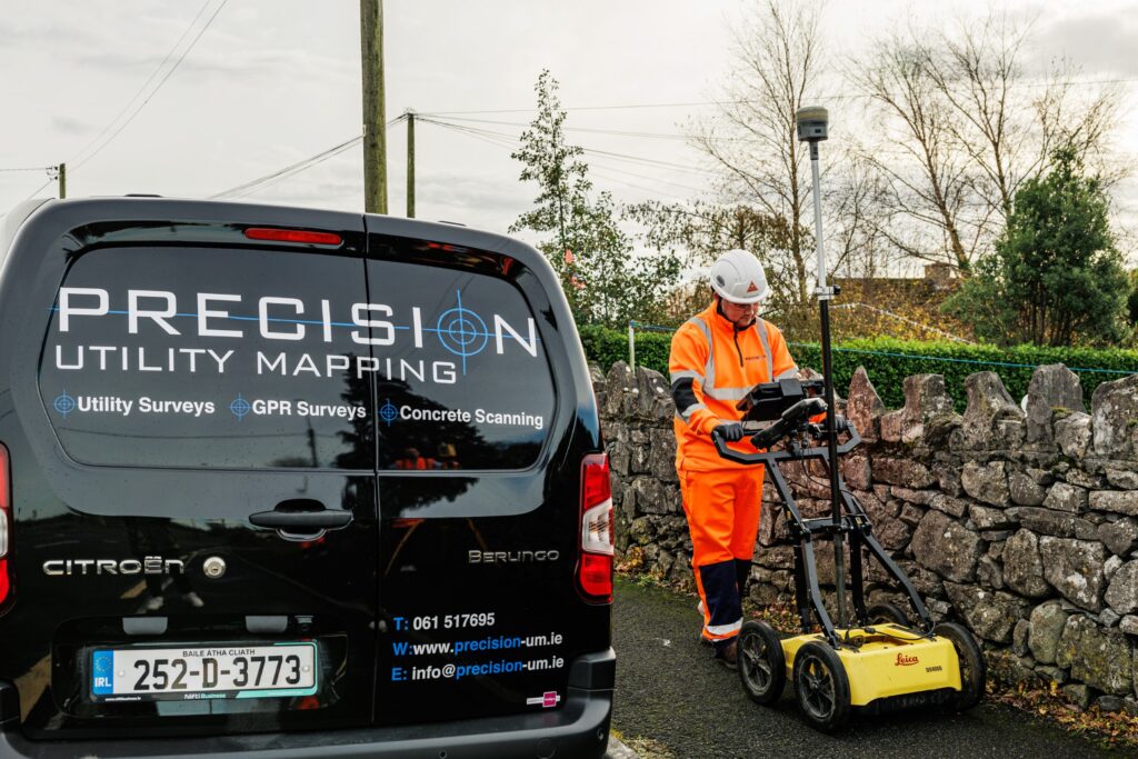
At Precision Utility Mapping, we transform complex site environments into clear, actionable datasets that enhance safety, reduce risk, and keep your project moving. We achieve this by delivering high-accuracy spatial, geophysical, and environmental datasets to support engineering design, construction planning, and asset management. Our technical capabilities span subsurface utility detection, topographic surveys, mobile and static scanning, UAV data capture, and integrated geospatial modelling. We deploy industry-leading technologies—including multi-frequency GPR, EML, 3D laser scanning, LiDAR, photogrammetry, and precision GNSS—to acquire, validate, and deliver data to the highest professional standards.
Our Team
Covering all the UK and Ireland, with over 70 geospatial professionals, from large scale infrastructure to domestic projects, our team has the capabilities to collect data to keep your project moving. The Precision Utility Mapping team is made up of highly skilled survey engineers, geophysicists, data specialists, and field technicians who bring extensive experience across utility detection, geospatial surveying, and advanced data acquisition. Our field teams, data processors, and project managers operate as a single, integrated unit to ensure seamless project delivery from initial site assessment through to final outputs.
Our Approach
At Precision Utility Mapping, our approach is built on delivering high-integrity data through disciplined methodology, advanced technology, and uncompromising quality control. We combine multi-sensor data capture—ranging from GPR, EML to laser scanning, LiDAR, UAV photogrammetry, and precision GNSS—to create comprehensive, cross-validated datasets. This systematic, technology-driven approach allows us to deliver clear, actionable information that empowers clients to plan, design, and build with confidence.
PRECISION UTILITY MAPPING
Get in Touch
arrange a survey Today