Topographic Surveys

Our Services

Precision Ground Surveys for Engineering, Design, and Planning

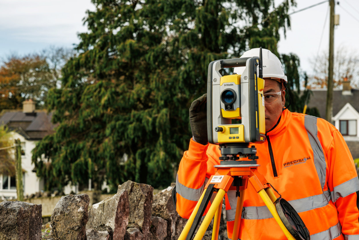
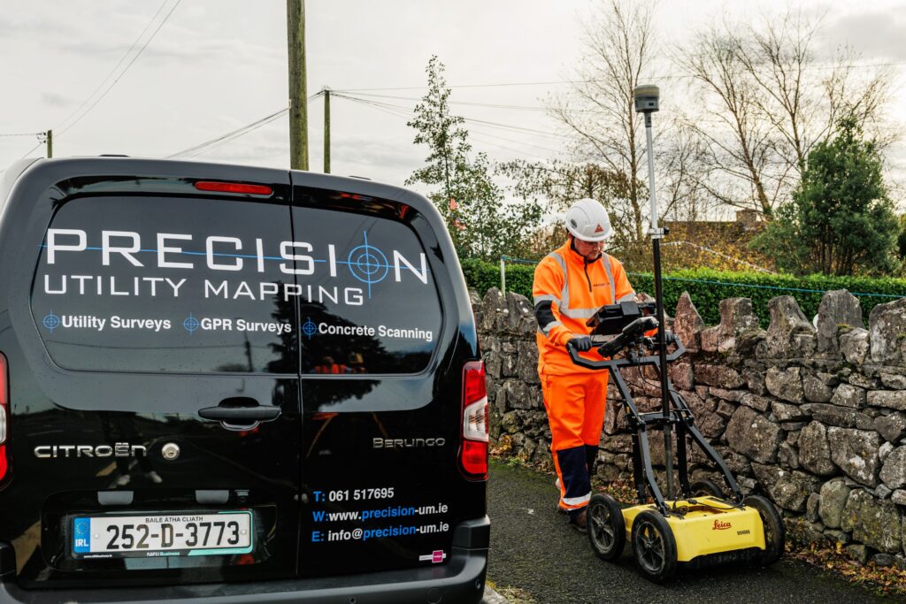
We deliver detailed topographic surveys using total stations, GNSS receivers, UAVs, and terrestrial laser scanning. Our surveyors capture all visible site features — including contours, boundaries, drainage assets, kerbs, trees, and building footprints — providing 2D drawings or 3D terrain models to inform civil engineering, architectural design, and planning applications.

All surveys are quality-checked and geo-referenced to OSGB36 or client-specific control.

Survey Outputs:
  1. 2D topographic drawings (DWG, DXF, PDF)
  2. 3D terrain models (TIN, point clouds, Revit)
  3. Custom layering and feature coding to client specifications
  4. UAV/drone data integration for large-scale mapping
PRECISION UTILITY MAPPING

Get in Touch
arrange a Topographic Survey